Answer the question
In order to leave comments, you need to log in
leaflet. How to cluster polygons on a map?
Good afternoon.
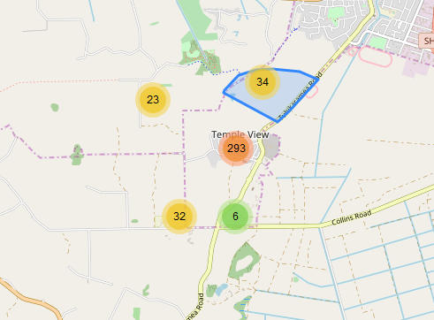
There is a Leaflet plugin for marker clustering. Here it
is. It looks like this:
Is it possible to use it to display not cluster circles but polygons? For example, when hovering over a cluster, it shows the polygon on which it counts the number.
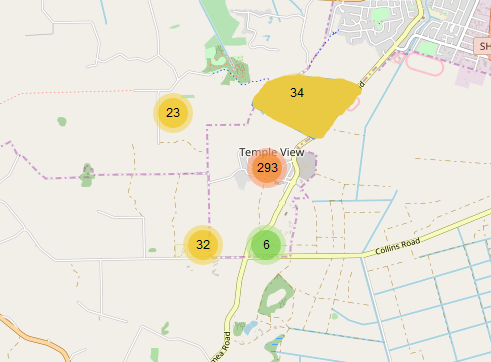
I would like this grid of polygons to always be displayed and it to be the same color as the color of the circle 
. Is it even possible to do this?
Answer the question
In order to leave comments, you need to log in
You can, the more he shows it when you hover.
https://github.com/Leaflet/Leaflet.markercluster/b...
Didn't find what you were looking for?
Ask your questionAsk a Question
731 491 924 answers to any question