Answer the question
In order to leave comments, you need to log in
How to export streets and rivers for a diagram in a graphics editor?
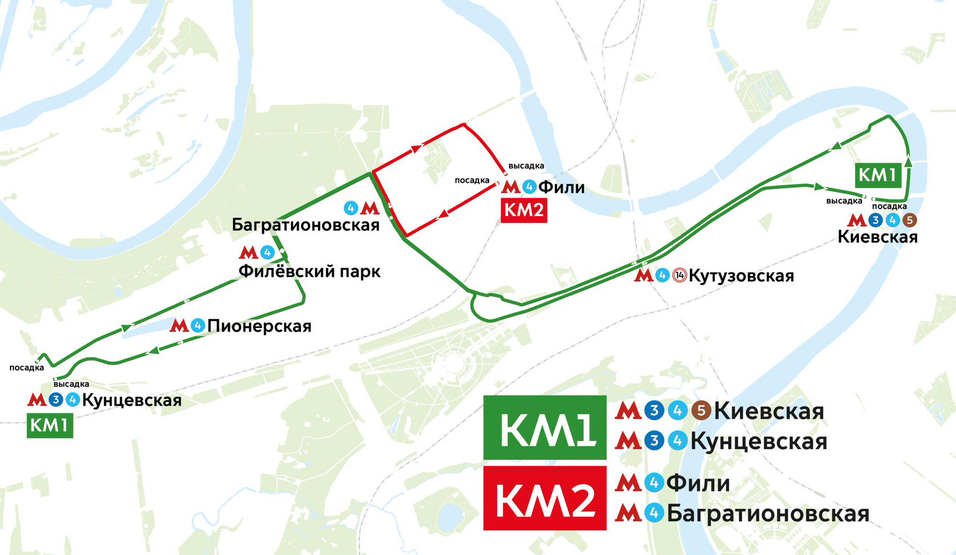
Perhaps there are designers or specialists involved with OpenStreetMap here. It is necessary to create a graphic scheme of public transport routes, to know the position of the streets and the river (or perhaps partially the relief) of the city for the subsequent drawing of the route scheme in a graphic editor, for example illustrator. It is noteworthy to use OpenStreetMap, links with an open license to export (or convert) to a convenient format. By convenient formats I mean EPS or AI.

Answer the question
In order to leave comments, you need to log in
Take ready-made in GIS format . Also in the GIS, you can wash the terrain.
Didn't find what you were looking for?
Ask your questionAsk a Question
731 491 924 answers to any question