Answer the question
In order to leave comments, you need to log in
How to make an interactive map from curves?
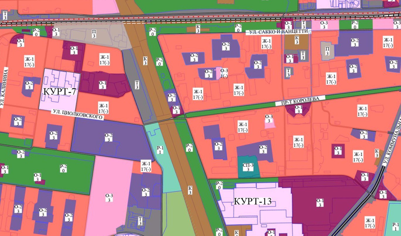
There is a PDF file with a map of the city, where the quarters are made as zones with color differentiation. How to implement an interactive online map, so that when you click on a particular zone on the map, help appears in the window (block) on the right with a text / visual description of the zone?
Answer the question
In order to leave comments, you need to log in
Didn't find what you were looking for?
Ask your questionAsk a Question
731 491 924 answers to any question