Answer the question
In order to leave comments, you need to log in
How is this panoramic tour made?
tour.architech3di.com/22-big-bay-point?o=u Interested in the logic of creating this tour? There is information that they connect the spheres with each other using photogrammetry, that is, is a 3D model built or not, and how is the photo panorama combined with the 3D model if this is done? Or panoramas connected directly in the engine? At what stage is the interface and linking to the map created, adding photos and plans? Thanks for the help! Looking for developers! If interested, write to [email protected]
Answer the question
In order to leave comments, you need to log in
For rendering , three.js is used.
The cube is projected from the inside, on which the panorama cube texture is superimposed. Arrows are also 3d objects that raycast works for (for mouse events).
The sidemap works on a different principle, there are enough js tools
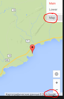
Most likely, this is a customized streetview. Study:
https://developers.google.com/maps/documentation/j...
Order the full development cycle here.
Helped out multiple times.
Didn't find what you were looking for?
Ask your questionAsk a Question
731 491 924 answers to any question