Answer the question
In order to leave comments, you need to log in
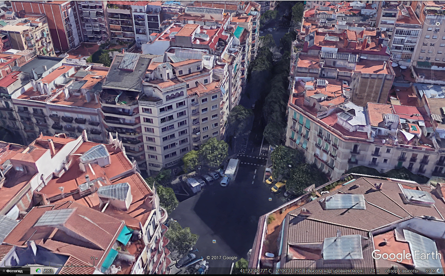
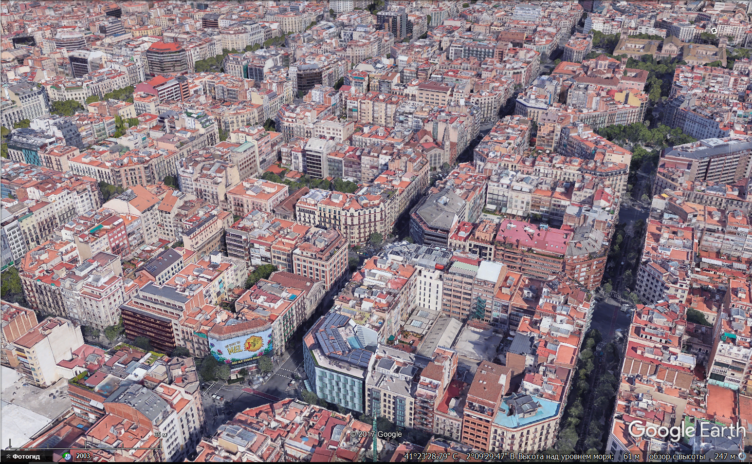
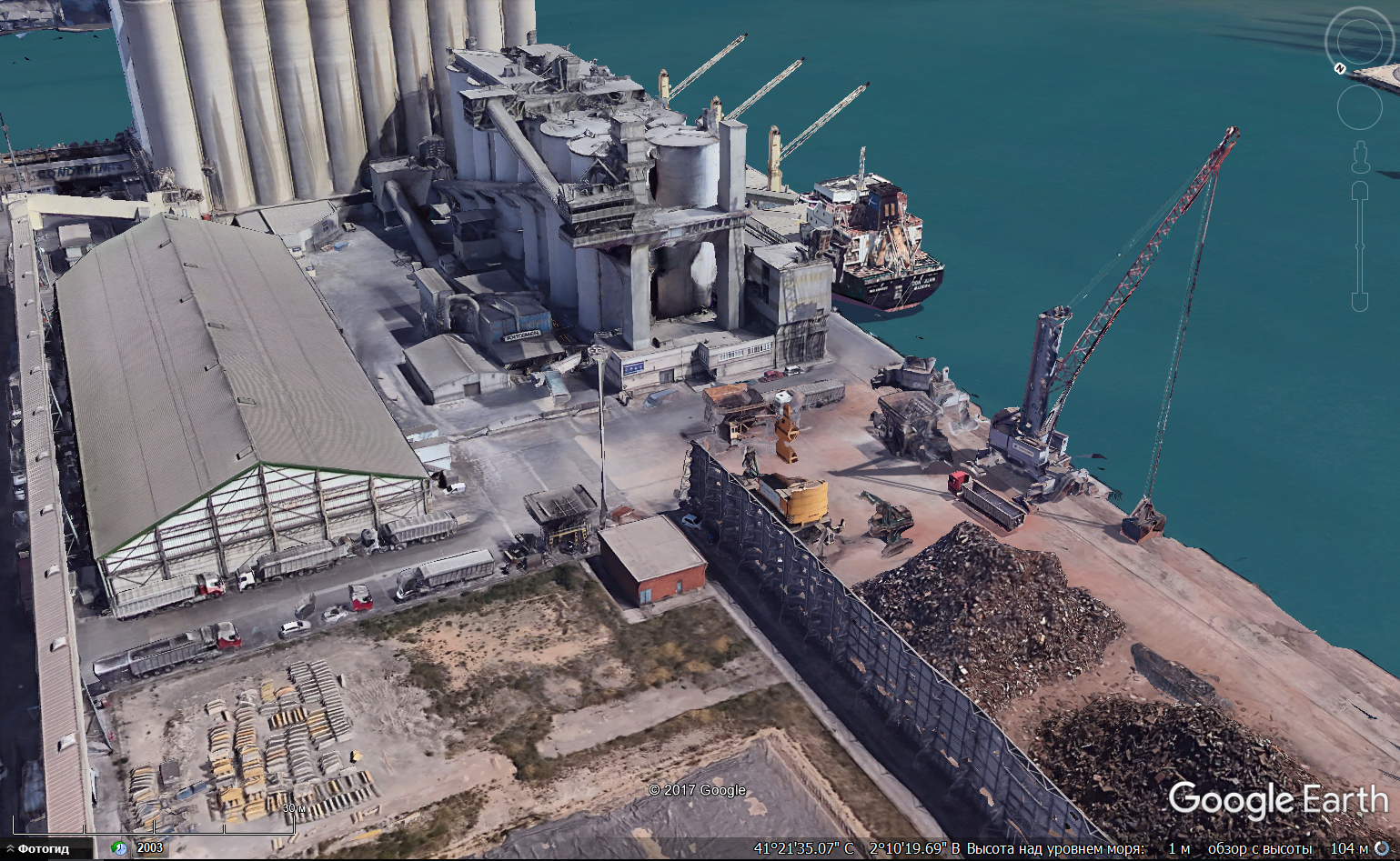
How does Google generate such 3d models?
How does Google generate such detailed 3D models on an industrial scale?
I know that anyone can add their handmade model to the map, but these models are not like that.
As if they were created by a computer using data, for example, from cameras, lasers, and all sorts of sonars.
In general, how does this actually happen?


Answer the question
In order to leave comments, you need to log in
Didn't find what you were looking for?
Ask your questionAsk a Question
731 491 924 answers to any question