Answer the question
In order to leave comments, you need to log in
Why do satellite images have squares of a different color?
Good afternoon!
I was looking at the map in hybrid mode and I can’t understand: why do the pictures look like multi-colored squares? That is, here is a piece of one color - 100 meters, and already a different color. 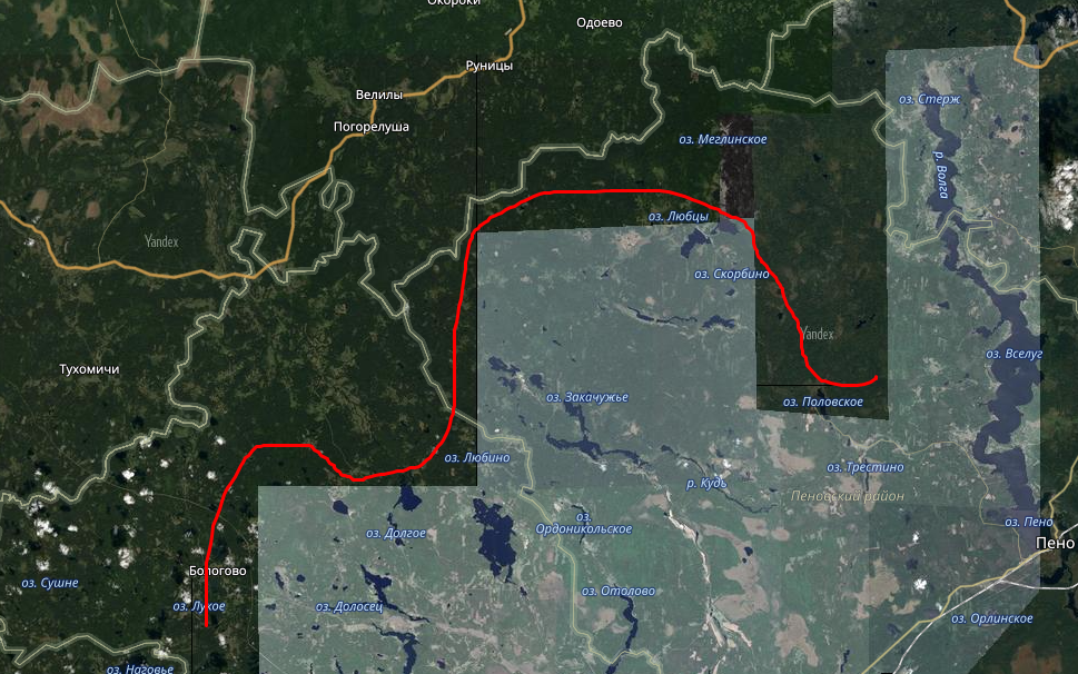
It's like they're pieces glued together.
Why is that? I can't figure out one more thing. Yandex maps have a very good resolution, you can see everything right up to the tree in the field. 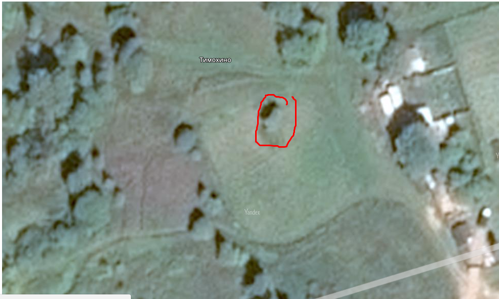
How are things going with military installations in this case? After all, they are also very clearly visible at this resolution. In particular, the radar, because in the event of an attack, they will be destroyed in the first place, and then aircraft will fly. How is this issue resolved?
Thanks for answers!
Answer the question
In order to leave comments, you need to log in
Because they are really glued together, from different years and even different seasons. And they can also have different colors, because the sensors on the satellites are tuned to a specific wavelength, several spectra of red, green, etc. Therefore, mazayka from different suppliers can be collected from different channels. The result is observed.
With military facilities, nothing fundamentally changed, and so they always knew what, where and how, and we and about us. It’s just that at the current moment in history, equipment can be considered piece by piece without getting up from the couch.
Didn't find what you were looking for?
Ask your questionAsk a Question
731 491 924 answers to any question