Answer the question
In order to leave comments, you need to log in
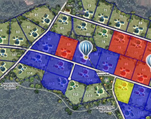
How to make a similar map with areas and pictures?
Map here https://1za100.ru/ then click on the link "Select a site". 
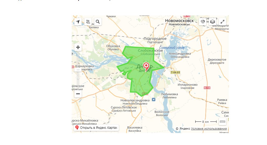
As I understand these areas are polygons, in the admin panel you just need to correctly create areas using this https://tech.yandex.ru/maps/jsbox/2.0/polygonEditor and, upon completion, save the coordinates somewhere (to a database or file) and bind to a certain area. But the question is how to create many polygons and how to add your own pictures and inscriptions to the map?
Answer the question
In order to leave comments, you need to log in
I think that here you can’t do without dancing with a tambourine) In the sense it won’t be easy and simple ...
I don’t remember what it’s called, but Yandex has a function that converts the position relative to the map in pixels into geo-coordinates. (To better understand how it works, start digging from this topic: https://toster.ru/q/316143) - I did this thing a long time ago and now I forgot how it all works exactly.
It turns out that for downloading you will need to run the map, put a mask on top (in svg for example), calculate the coordinates of all points, transfer to Yandex, get geo-coordinates that can be used for Yandex Polygon. Save and rejoice)
Forgive me for being blurry and superficial. If you want, you can write to me in a personal: https://vk.com/petrov___aleksandr,I'll raise my code, remember which method is responsible for the conversion.
Once I did it with only one area, but there is still a lot to do with different colors 
here Link
I would solve this with https://leafletjs.com/
You can add a map to the admin panel and draw polygons right there, it's better to save it in GeoJSON format
You can find answers to these questions in the leaflet documentation.
Didn't find what you were looking for?
Ask your questionAsk a Question
731 491 924 answers to any question