Answer the question
In order to leave comments, you need to log in
How to draw a 3d model, having the coordinates of each point of the object?
Hello! Built a simple 3D scanner that scans an object using a distance sensor. Skano's Ostores Associations So: The Date also works awareness of the work of the EMPMENT, the work of it is difficult to make it difficult to groove, and there is a need for a measure and so far, the porc is not one of the way. Further, the sensor, with the help of a special mechanism, rises a few millimeters up. And so on until the sensor is higher than the object itself: 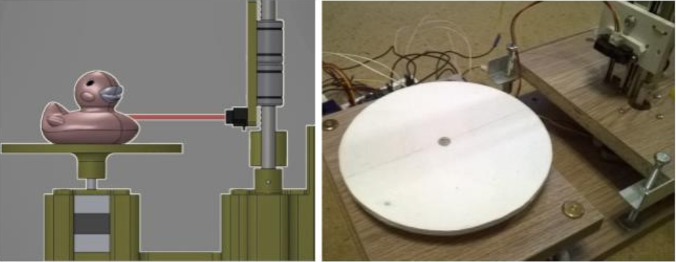
As a result, I get several lines of numbers (point distances) for each sensor height level: 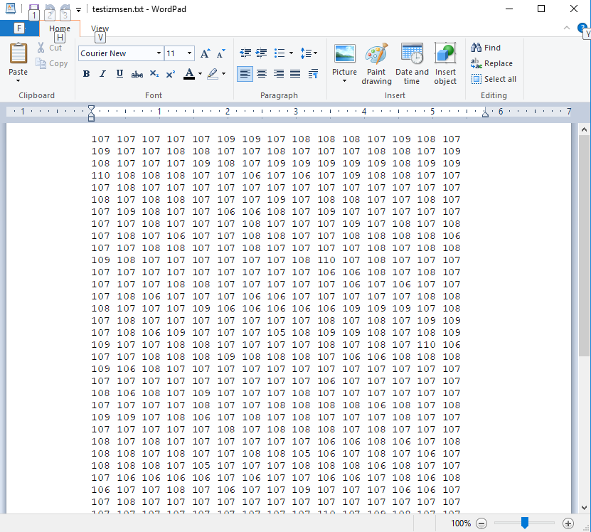
Please tell me how to create a 3D object (.obj file) based on the available information about the object? What libraries, api can be used?
I'd love to hear any ideas!
Answer the question
In order to leave comments, you need to log in
What you get out of the scanner is essentially a cloud of points in a cylindrical coordinate system.
You need to convert point coordinates to Cartesian and save in any of the popular point cloud formats.
Then, using Meshlab, you can restore the model from the point cloud https://www.youtube.com/watch?v=lHKOJ1dbyJI
Didn't find what you were looking for?
Ask your questionAsk a Question
731 491 924 answers to any question