Answer the question
In order to leave comments, you need to log in
How to create Google Maps heatmaps with various pluggable data (more info)?
For example, how exactly is data entered and changed?
There is an ecological and geographical project, you need to add points of air pollution, points of radiation and other environmentally negative influences to the map, all this should work in conjunction with weather stations, and for example, when a release of radioactive waste near St. Petersburg is recorded, then on the map with an update, for example, once in 10 minutes it is shown how this radioactive exhaust spreads due to the wind that, for example, blows towards Peter.
There will be about 12 such maps and about 40 internal add-ons with displayed changes to various elements and various environmental control points.
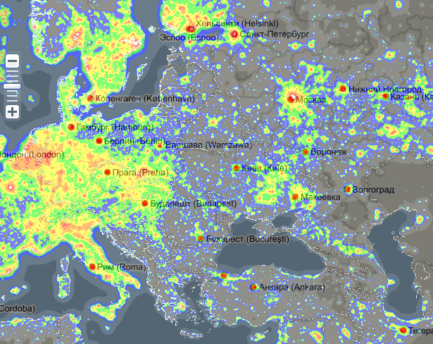
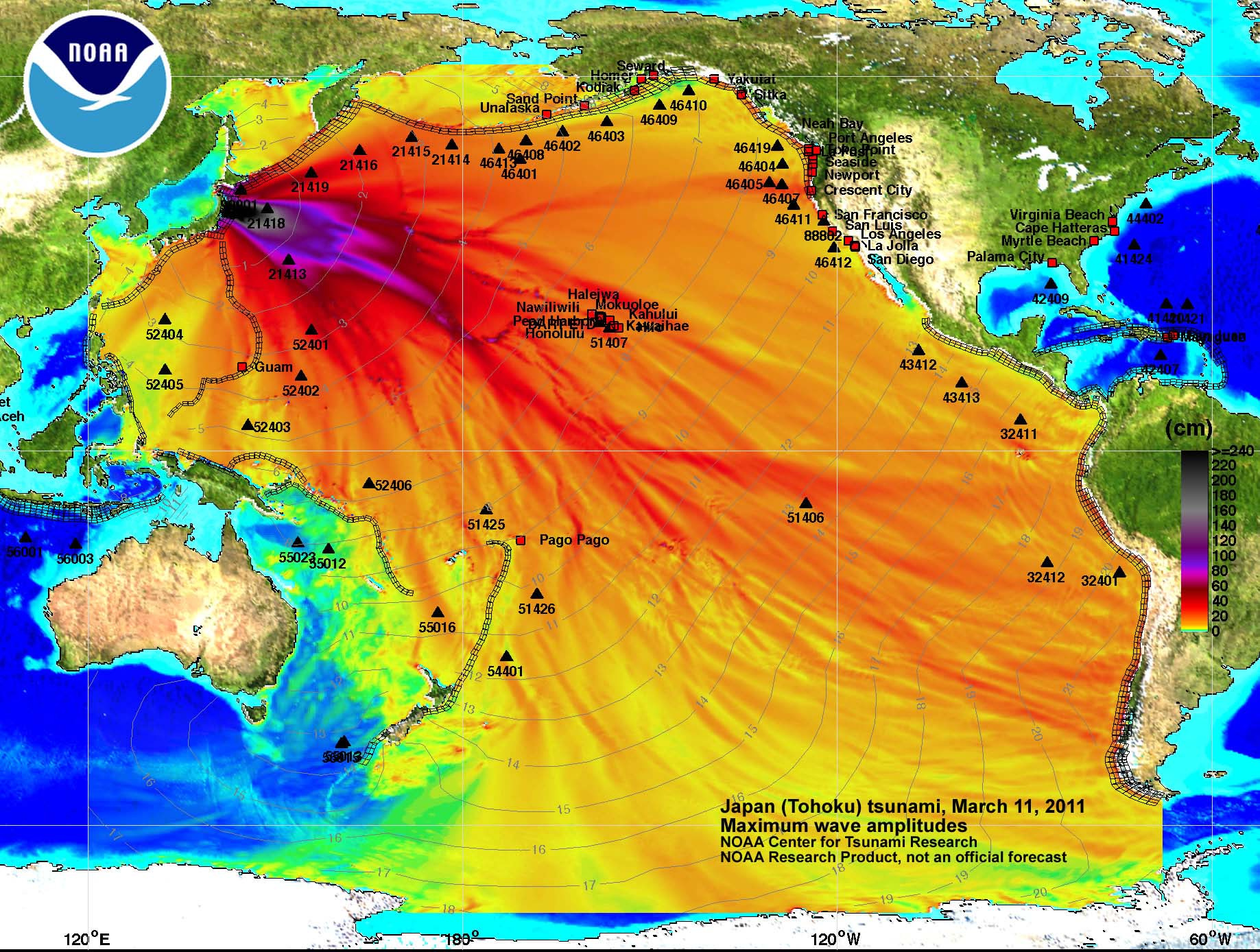
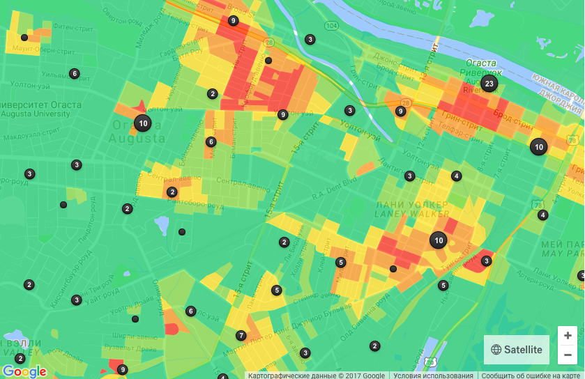
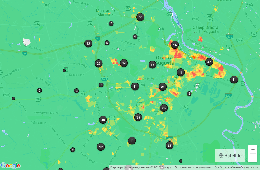
Attached are examples of what it should look like.
Answer the question
In order to leave comments, you need to log in
Didn't find what you were looking for?
Ask your questionAsk a Question
731 491 924 answers to any question