Answer the question
In order to leave comments, you need to log in
2D polygon - coordinates to a txt file or how to open and edit a Shapefile?
I ask for help from knowledgeable people, help me deal with specific shape-falls!
There is a file with the .shp extension that forms a figure, 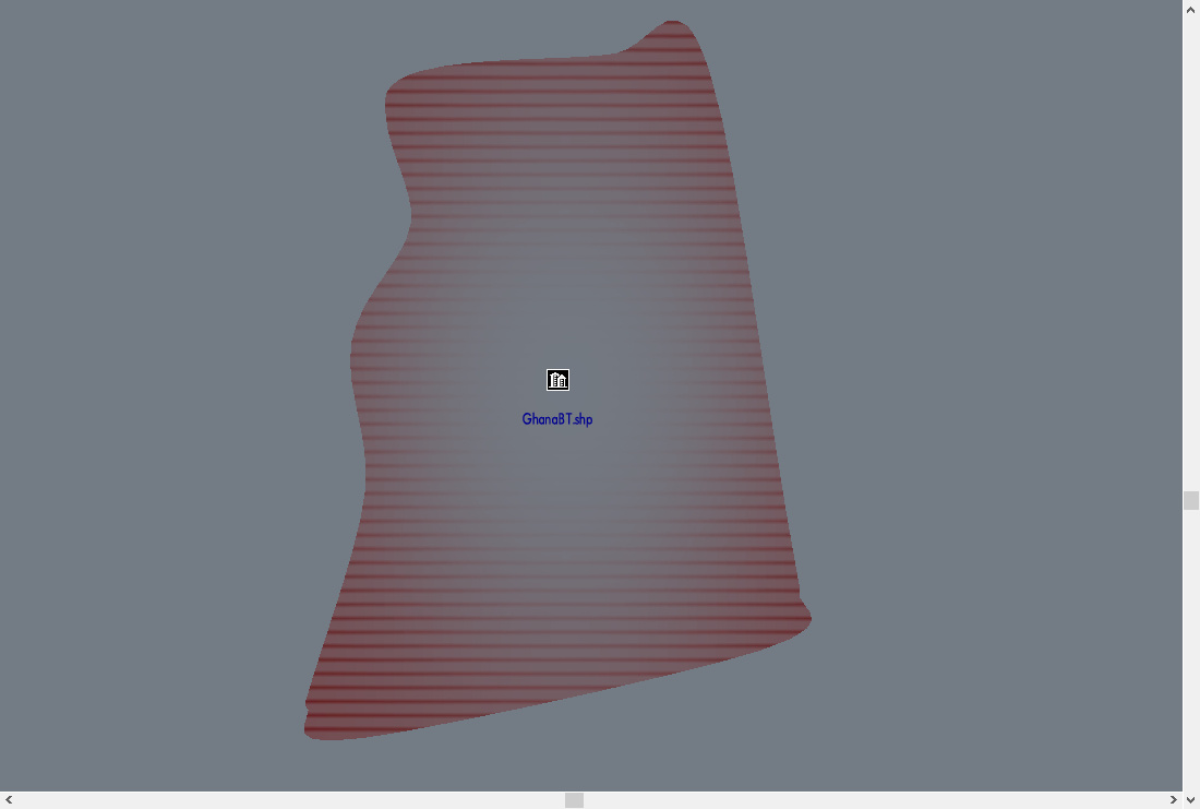 another shapefile forms text
 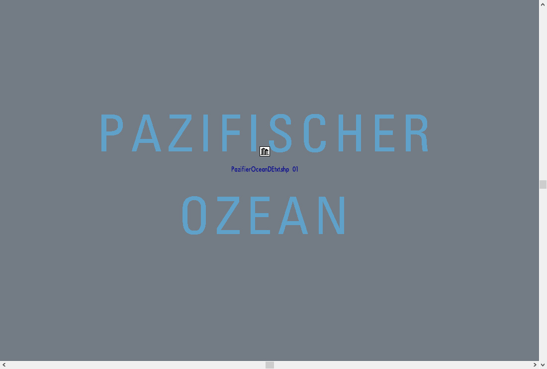 from only textures in the dds format associated with these shapefiles, there are no such files as dbf and shx that usually come with a normal shapefile , works without them. The shapefile itself can be opened with any text editor, where the coordinates that form the image along the X and Y axes are written (I calculated this using the "poke" method).
I've tried every possible CAD family editor except 3Ds Max, various vector editors and more and none of the editors could open these shapefiles. Of course, if you play around with the data, you can import it into AutoCAD and get a skewed, mirrored contour of polylines and points, the reverse export of data to a txt file leads to the fact that the image loses its original contour.
Now the question is: how or how to open existing shapefiles for editing, how to create similar ones, but with my edits?
Link to the archive, where the files and textures for them - https://yadi.sk/d/uam1z6PN8sXo-A
PS
With grief in half and with tears in my eyes, I can write code in Python. This I mean that suddenly there is a library that can convert a bitmap or vector image to shp and write coordinates to a text file.
Answer the question
In order to leave comments, you need to log in
Didn't find what you were looking for?
Ask your questionAsk a Question
731 491 924 answers to any question