Answer the question
In order to leave comments, you need to log in
What tool to use for automatic map generation?
Hello!
Please tell me a tool (set of tools?) for automatically creating maps similar to real satellite images, with detail at least a little closer to real. (Given that I am a COMPLETE ZERO in modeling and other 3d). You need to generate large deserts, reservoirs and plains, no buildings and complex landscapes (see the example in the picture), get a big picture at the output (2d render a la satellite image) 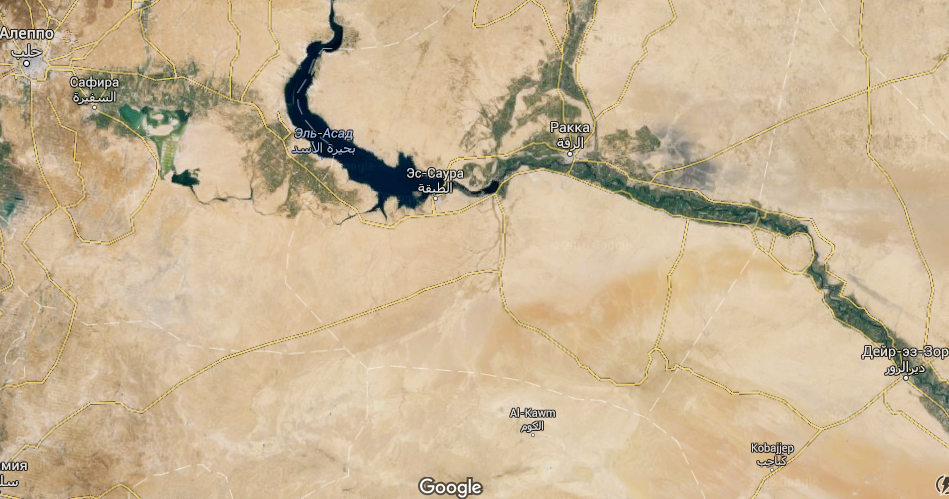
Thank you in advance for your advice!
Answer the question
In order to leave comments, you need to log in
Didn't find what you were looking for?
Ask your questionAsk a Question
731 491 924 answers to any question