Answer the question
In order to leave comments, you need to log in
Recognition of clouds in a satellite image?
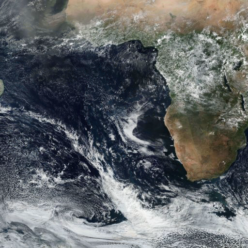
I tried to divide the 512x512 image into 32x32 parts, by which you need to teach the network and recognize it in the future. Examples:
Without clouds: 
With clouds: 
Using Synaptic, built a network with 16*16*4 inputs, 32 hidden and 2 outputs.
16 * 16 because to reduce the calculation time, I resized parts of the image. A * 4 - I take into account each channel, since most likely the color plays a certain role.
Manually determine several parts with and without clouds (outputs 1.0 or 0.1, respectively). In 20-50 iterations, I trained, but as a result, when checking for any parts, the outputs are approximately the same (they differ only by thousandths)
How to work with such data? Do I need to pre-normalize the image? How many layers and neurons should be in the hidden layer?
UPD:
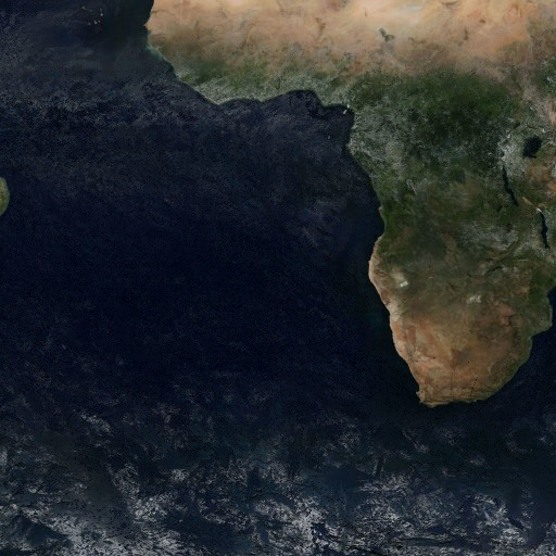
At this stage, it turned out that in this way, most likely, it is difficult to determine cloudless parts without a large training sample. I tried to get the minimum brightness values from the pictures for several days. Thus, the resulting pixel color will take the brightness from one image, which most likely does not contain clouds. But it turns out that not for all areas there are images without clouds
,
so
noise is obtained 

Answer the question
In order to leave comments, you need to log in
The task is not very clear: is it classification or segmentation?
In any case, it seems that you are trying to use a multilayer perceptron, which is not enough for such a task - you need a network with convolutional layers.
What is the output activation function? softmax?
Plus, there is no need to make 2 exits here, one is enough. 0 - there is no cloud, 1 - there is a cloud.
Didn't find what you were looking for?
Ask your questionAsk a Question
731 491 924 answers to any question